Ahveniston Olympialaisten maastojuoksu
Olympiakatu, 13130 Hämeenlinna
Hämeenlinnan sivustolta löytyy vuonna 2014 tuotettu reittikartta

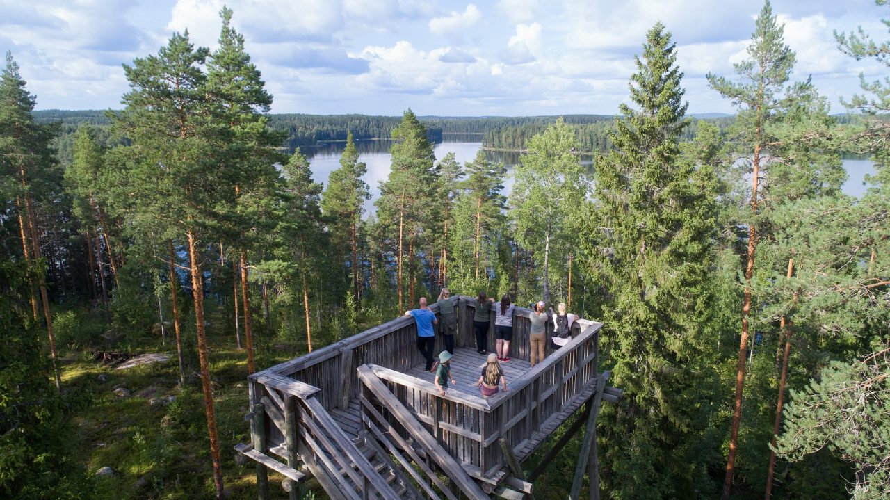
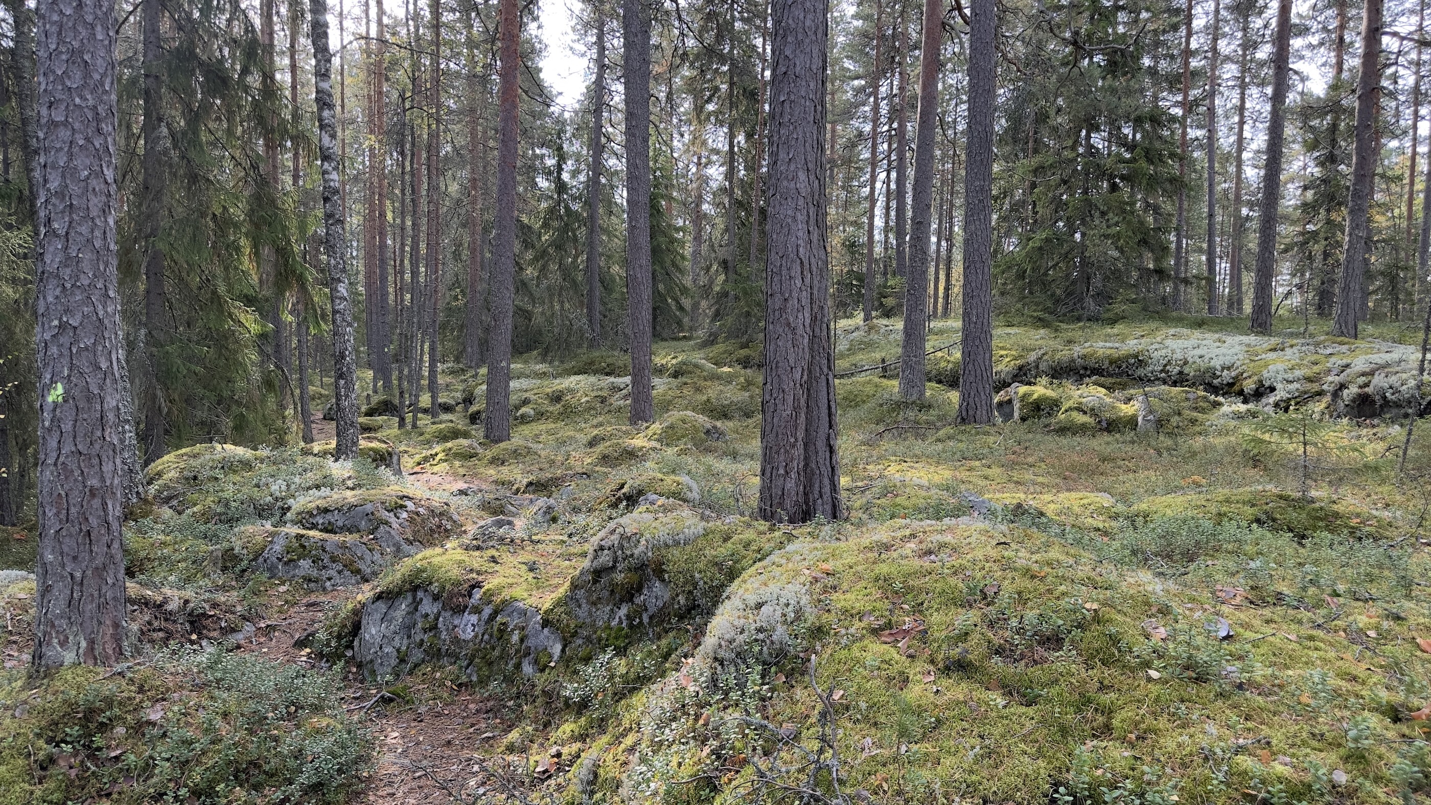
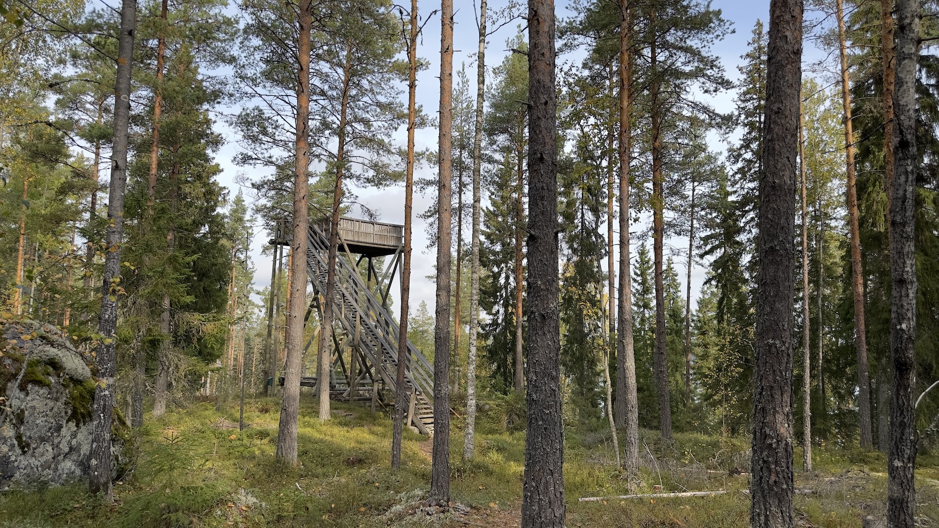
Vähäniemi Trail runs along narrow natural paths in varied terrain. On the way towards the shoreline you walk through green forest and lush hollows. On the way back you encounter dry and rugged pine cliffs. Climb up to the lookout tower to enjoy the Häme lake landscape from the top of the trees. You are advised to keep your phone’s map app with you, as there are many paths that fork.
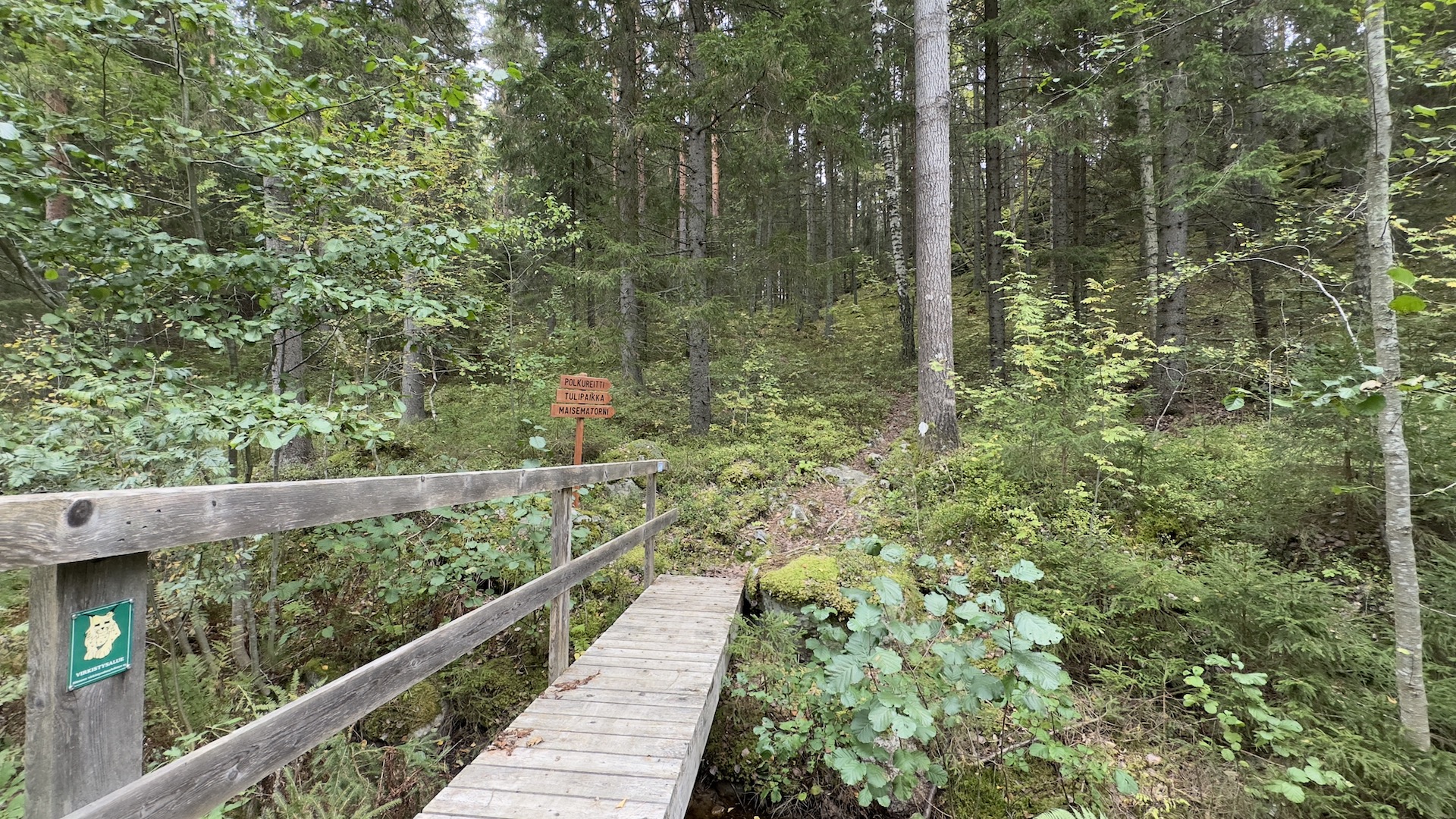
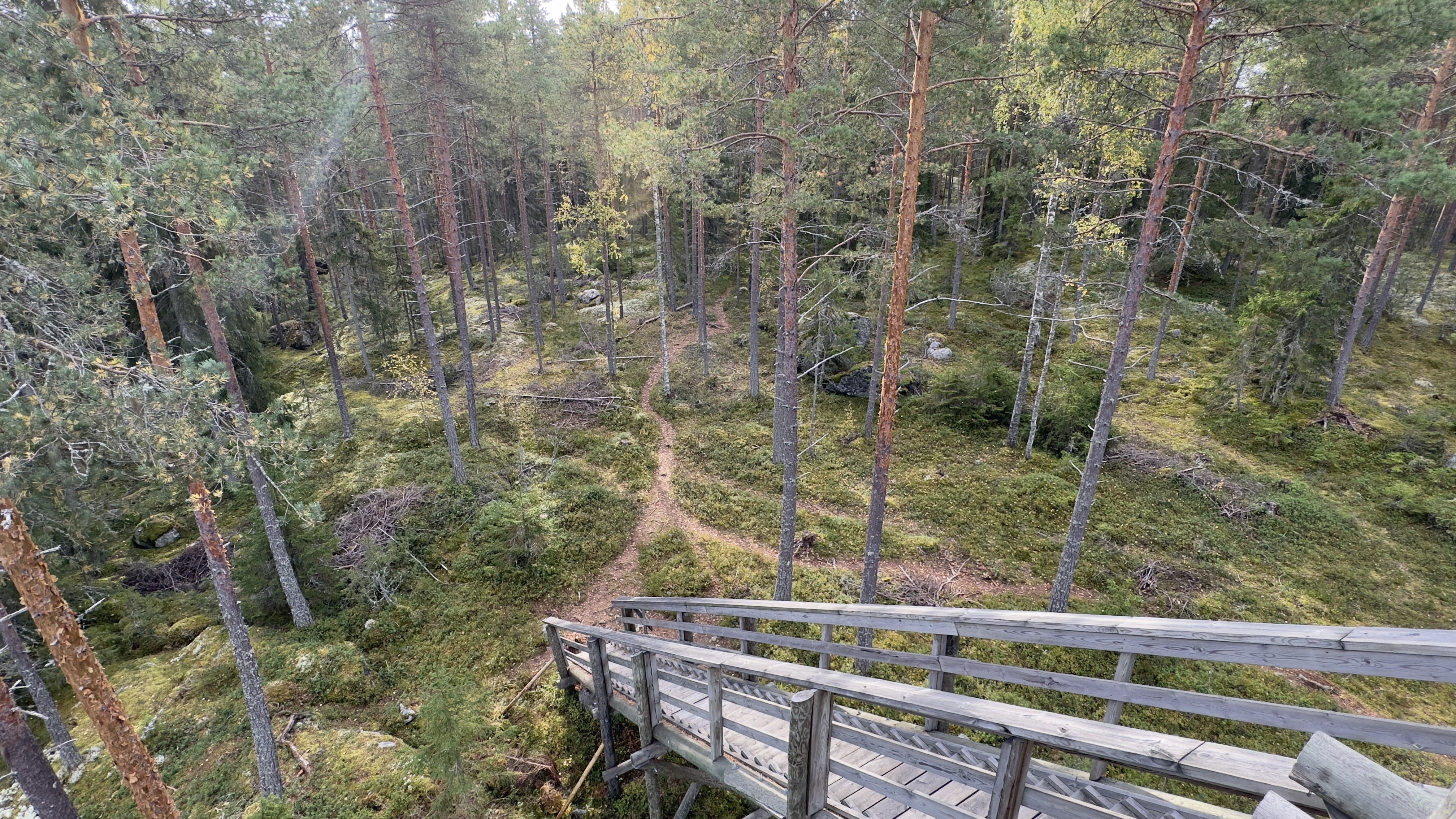
Starting point: Vähäniemin parking area, Laivarannantie 27-29, 14930 Hämeenlinna Walk north from the car park. Turn right and cross the bridge with a sign saying “polkureitti ja maisematorni” (trail and lookout tower). The trail climbs up the hill beside a mossy cliff edge and forks at the top of the cliff. As you continue north towards the lookout tower, the terrain is dry pine forest and lichen-covered cliffs. The lookout tower is located on top of the cliff. There are two different routes from the tower towards the lakeshore and into the forest. The path to the right (along the shoreline) has a steep hill on the way down from the lookout tower. The narrow path runs along the shoreline to the campfire site. On the path to the left, the slope is much gentler. Both paths take you down to the lakeshore and the campfire site. There is a campfire site and a jetty on the lakeshore. There is a dry toilet and a woodshed near the campfire site. The logs are large, so be prepared to split them before lighting the fire. There is a saw and a splitting tool in the woodshed. Lighting a campfire while a wildfire warning is in force is prohibited. Continue towards the parking area via the lookout tower. The road on the side of the Laivarannanlahti bay forks at the turnoff to the lookout tower. You can continue straight and take the gravel road back to the parking area. The gravel road is easy to follow, but there is a long hill on the way. The path past the car park goes over a cliff through the woods and arrives at Laivarannantie road. The rest of the way is along the gravel road to the parking area.
Yes
Walking route/outdoor route
2.07
1 – 2 hours
The route is marked with light-coloured paint markers on trees, but the marks have faded.
0
Municipality / Other
Olympiakatu, 13130 Hämeenlinna
Hämeenlinnan sivustolta löytyy vuonna 2014 tuotettu reittikartta
Linnanen 77, 13210 HÄMEENLINNA
8 km pituinen valaistu kuntarata Aulangon maisemissa.