Ahveniston luontopolku
Olympiakatu, 13130 Hämeenlinna
Lähtö Ahveniston urheilukeskuksesta, jossa parkkipaikka, nuotiopaikka, uimaranta, lentopallokenttä, kahvila ja sauna. Reitti on merkitty keltaisilla kolmioilla. 22 rastitaulua.

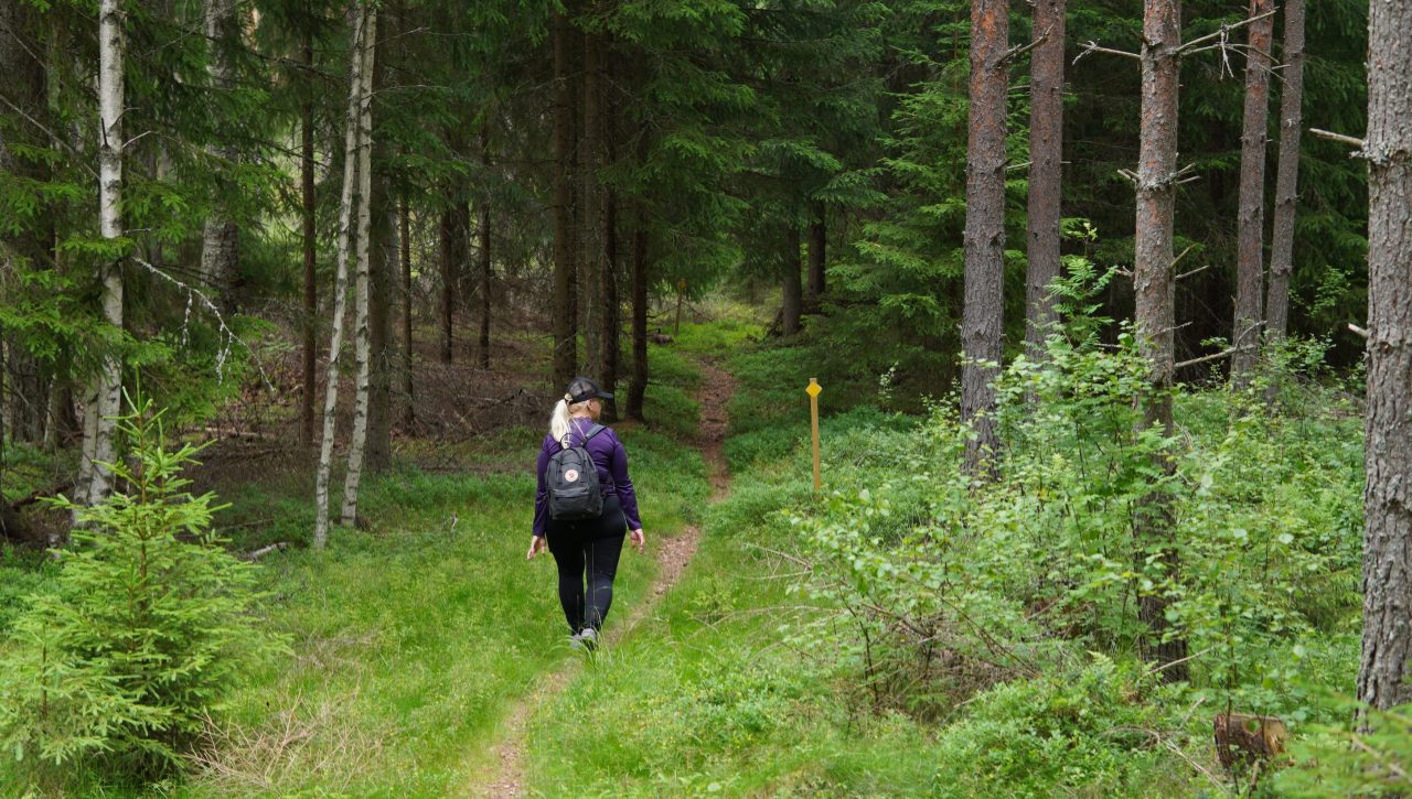
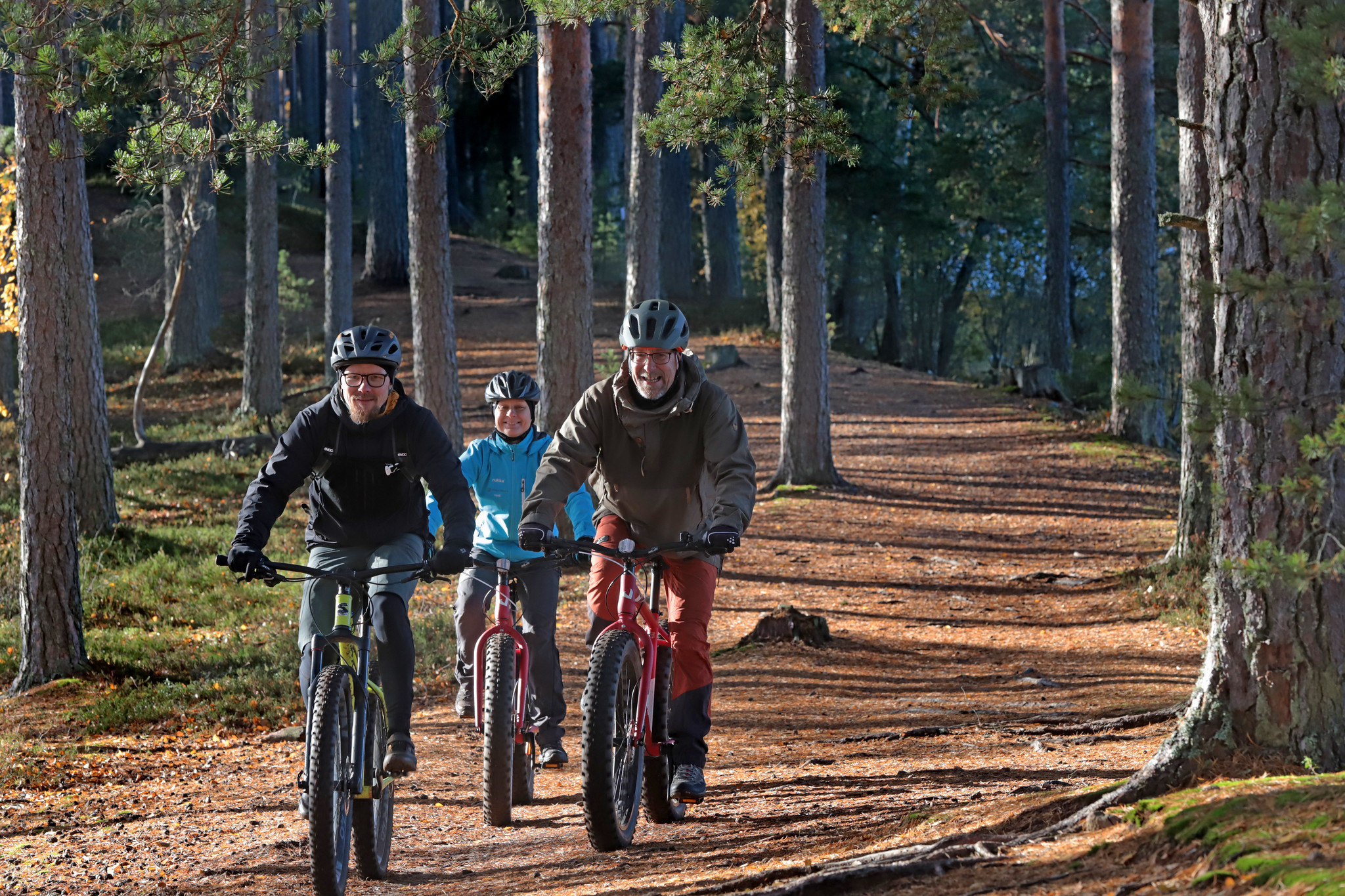
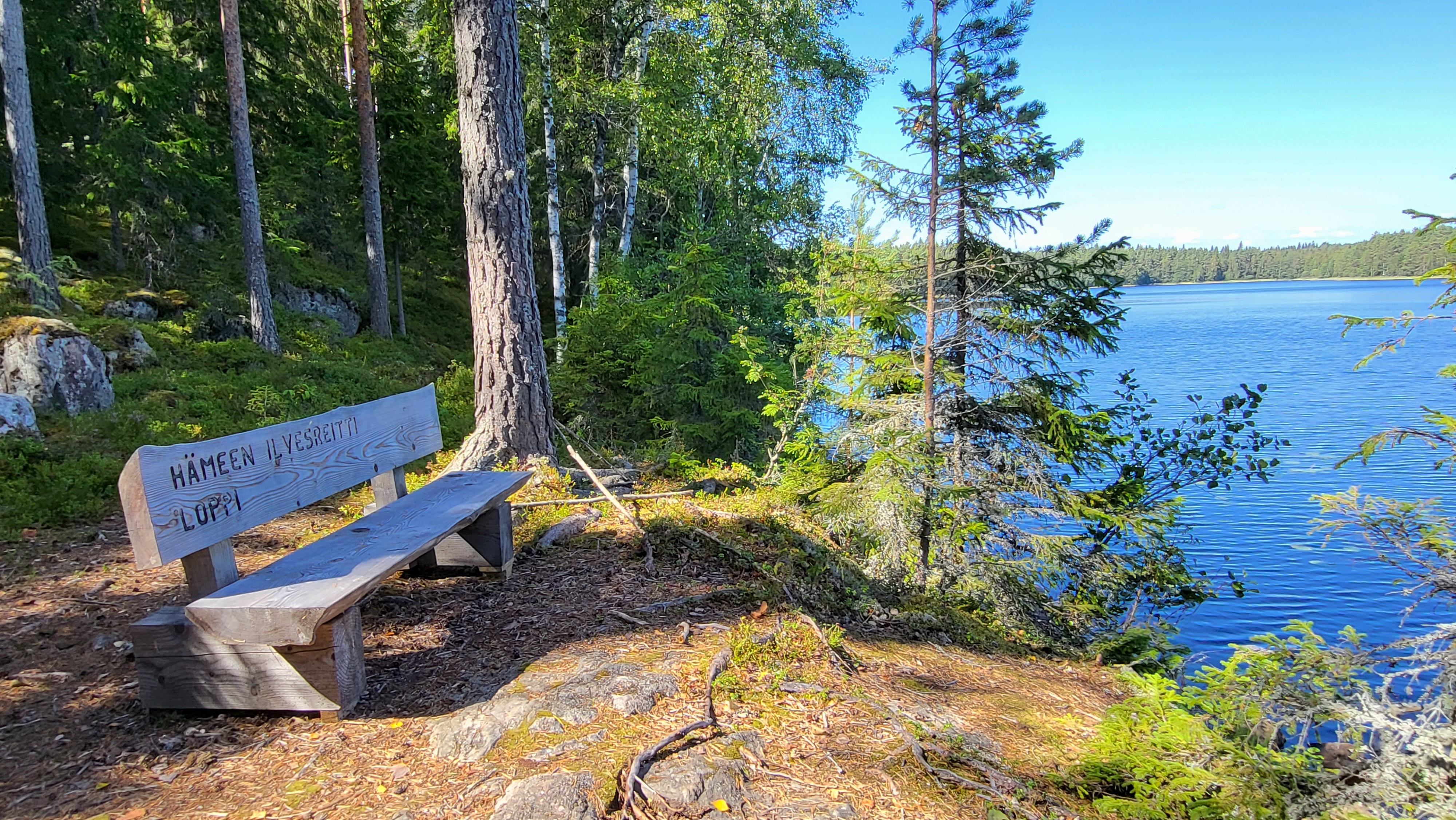
The Häme Lynx Route is a summer hiking trail in the heart of southern Finland. The route passes through forests, lakes and rural landscapes. It connects the most beautiful natural sites in the Häme Lake Uplands with each other and with the settlements in the area. On the Häme Lynx Trail, you can enjoy day trips, long hikes, or mountain biking – with a total distance of up to 270 kilometres! The route is also ideal for trail running. Along the long route, there are short day hikes and circular routes suitable for the whole family.
Trail Descriptions: Riihimäki Riutta – Loppi Hirvijärvi (12 km) The trail starts at the Riutta sports park in Riihimäki and passes through diverse terrain, including forest paths, forest roads, and roadside stretches. The landscape mainly consists of dense forests, with rocky sections and steep parts. Motorcycle tracks can be found on the Riihimäki side, and some paths may become grassy in summer. There is a connection to Paalijärvi beach, which features parking, a campfire site, and a toilet. Hirvijärvi – Loppi (11 km) This section follows forest roads, paths, and walkways. The terrain includes beautiful coniferous forests and is well-marked. The Loppi urban area offers a grocery shop and restaurants. Loppi – Kalamaja (13 km) The route primarily consists of forest paths, although some sections are overgrown and challenging. A map app is recommended. In the Komio Nature Reserve, the Samo and Pikku-Samo trails are easy to navigate. The Kalamaja rest area includes parking and a lean-to shelter. Sähkönokka – Räyskälä – Iso-Melkutin (6 km) and connection to Poronpolku (3 km) Starting from the Sähkönokka beach, the route passes through the Räyskälä Aviation Centre. The paths are well-maintained and clearly marked. This section connects eastward to Poronpolku, including Pirunkallio and Rautakoskentie. The area is excellent for mountain biking. Iso-Melkutin, a popular clearwater lake, has two lean-to shelters along its surrounding ridge trail. The lake offers activities for both hikers and divers. Iso-Melkutin – Liesjärvi National Park (20 km) The trail meanders through forests and ridges, leading to Liesjärvi National Park with its beautiful spruce forests. Lean-tos in Kivijärvi and the National Park provide good resting opportunities. Kivijärvi Loop (26 km) This long circular trail with two rest stops allows for peaceful hiking amidst forest-surrounded lake landscapes. Liesjärvi National Park – Ruostejärvi (30 km) This connecting route crosses the Kyynäränharju ridge, which links the northern and southern parts of the national park. The ridge offers stunning views surrounded by lakes. The Ruostejärvi area features diverse trails and services. The Eerikkilä Sports & Outdoors Centre near the Ruostejärvi recreational area provides accommodation and dining options. The trail branches into three directions from Ruostejärvi. Piippurinsuo Loop (6 km) Located on the eastern edge of Torronsuo, this nearly 6-km circular route can be accessed from Ruostejärvi Nature Recreation Area. Ruostejärvi – Saari Folk Park (15 km) An easy path passes the Eerikkilä Sports & Outdoors Centre, leading through beautiful spruce forests, wetlands, and rural landscapes to Kaukolanharju. The trail is well-marked. Räyskälä – Pääjärvi (10 km) From Räyskälä, the trail continues to Pääjärvi, passing through lovely pine forests and ponds. The trail is well-maintained but can become grassy in summer. A stream crossing may require walking your bike over a bridge. Pääjärvi Loop (8 km) This circular route follows forest paths onto a narrow, lake-bordered ridge. It features some steep climbs and rocky sections. A shorter 4,5-km Kynnysniemi loop offers a lighter option. Both routes start from Pääjärvi parking area, which has a toilet and a campfire site. Pääjärvi – Renko (23 km) Best visited before midsummer or in late autumn, this trail can become grassy in summer due to infrequent use. It is clearly marked, and navigation with a map app is easy. Recommended starting points include Hämeen Härkätie information points like Lietsa, Pitkäjärvi, or Ruokojärvi.
Hiking route
273.32
2 – 5 days
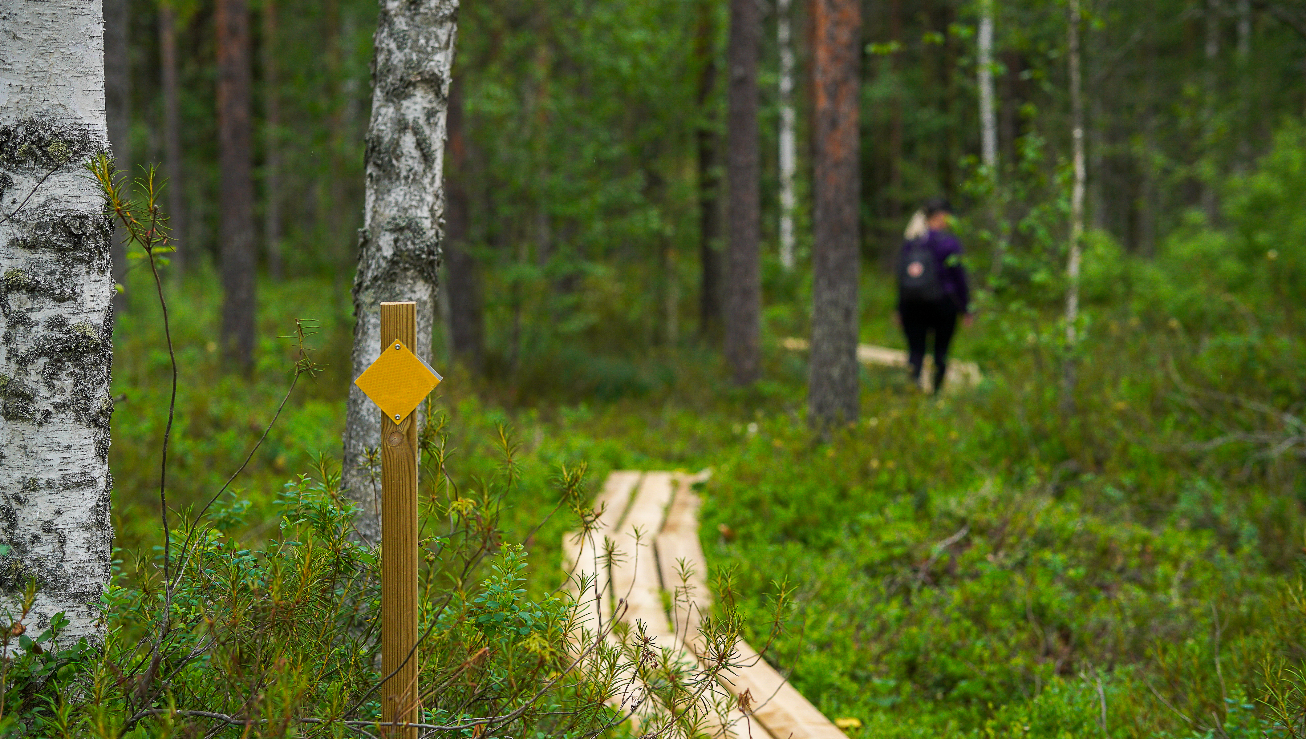
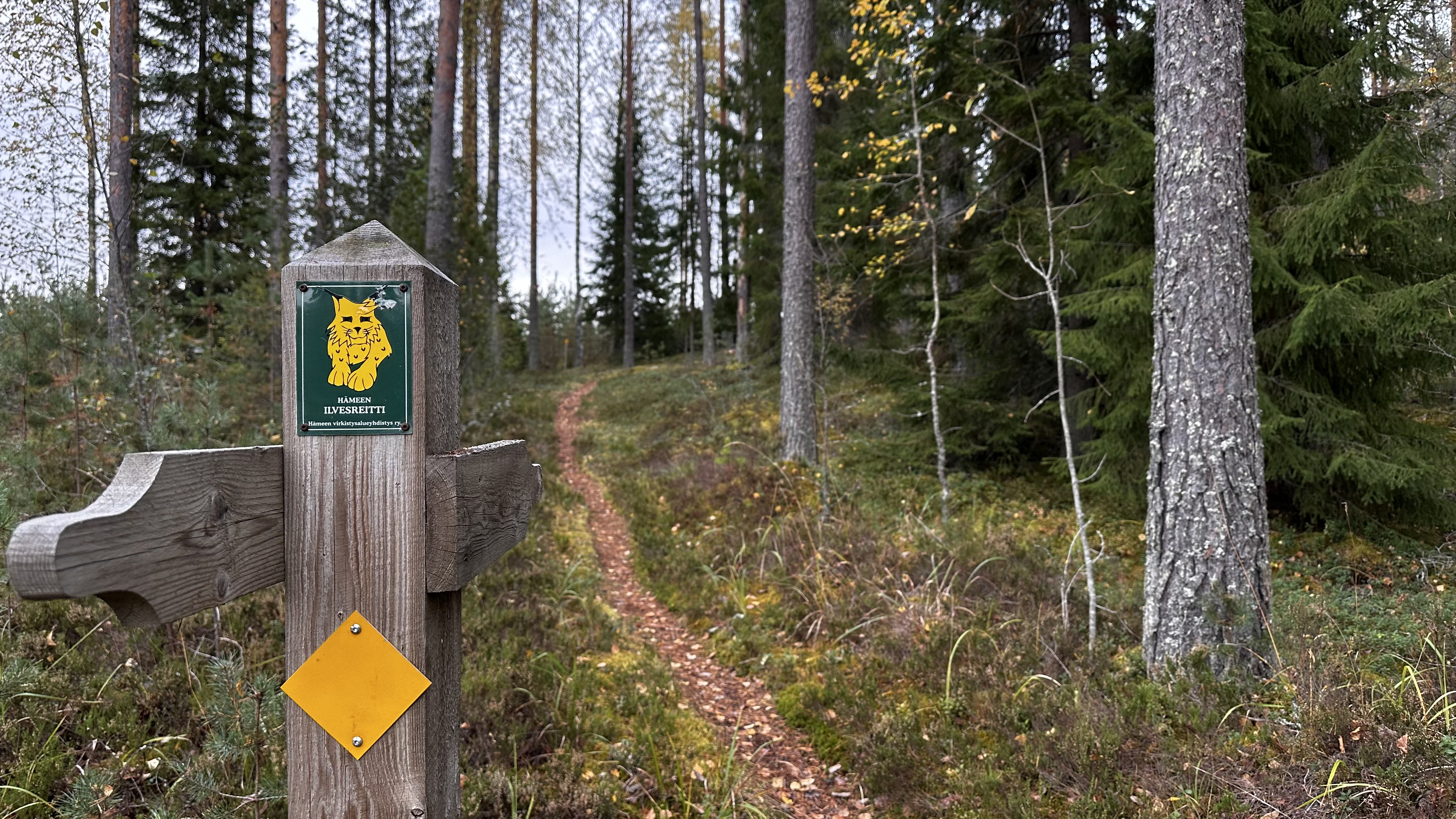
Green symbol of the Häme Lynx Trail at the crossing points of the route. Yellow square on connecting routes. Ring routes have their own coloured square signs along the route which can be found on the information board at the starting point.
Municipality / Other
The trail has several starting points, with parking areas marked on the Luontoon.fi map. You can reach the trail by train from Hattula and Hämeenlinna. The easiest access by bus is from nearby urban areas.
Olympiakatu, 13130 Hämeenlinna
Lähtö Ahveniston urheilukeskuksesta, jossa parkkipaikka, nuotiopaikka, uimaranta, lentopallokenttä, kahvila ja sauna. Reitti on merkitty keltaisilla kolmioilla. 22 rastitaulua.
Linnanen 77, 13210 HÄMEENLINNA
6 km pituinen reitti, josta 3 km on valaistua. Sibeliuksen Metsän ydinalueita ovat Käärme- ja Levonkallioiden ympäristö, Levonhaka joitten läpi polku kulkee.
Forssan kantatie 2070, 14300 Hämeenlinna
Hämeen Ilvesreitti on Riihimäen, Hämeenlinnan, Lopen ja Tammelan alueella kulkeva yli 250 km:n pituinen retkeilyreitti, jonka varrelta löytyy mm. virkistysalueita, uimapaikkoja, laavuja ja muita taukopaikkoja. …