Häme by Cycle: Hulder´s journey
- Sähköposti
- info@hvay.fi
Kuvaus
- Yleiskuvaus
-
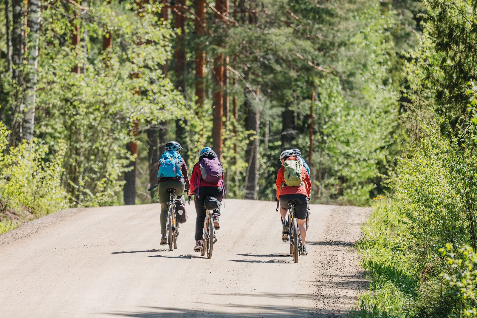
Hulder’s Journey is a circular route of 265 km and 3-5 days connecting Hämeenlinna, Evo Hiking Area, and Riihimäki, mainly along dirt and gravel roads. The route crosses eastern Kanta-Häme along ridges, passing through forests and cultural landscapes. The route will raise your heart rate with its differences in altitude as well as its scenery – with a total of 1,179 m of ascent. Hulder’s Journey is the most demanding route of the Häme by Cycle route network, due to the high altitude differences and the sparse maintenance network in the forested areas of the eastern part of the route. The route is easily accessible by train from five railway stations.
- Kohdekuvaus
-
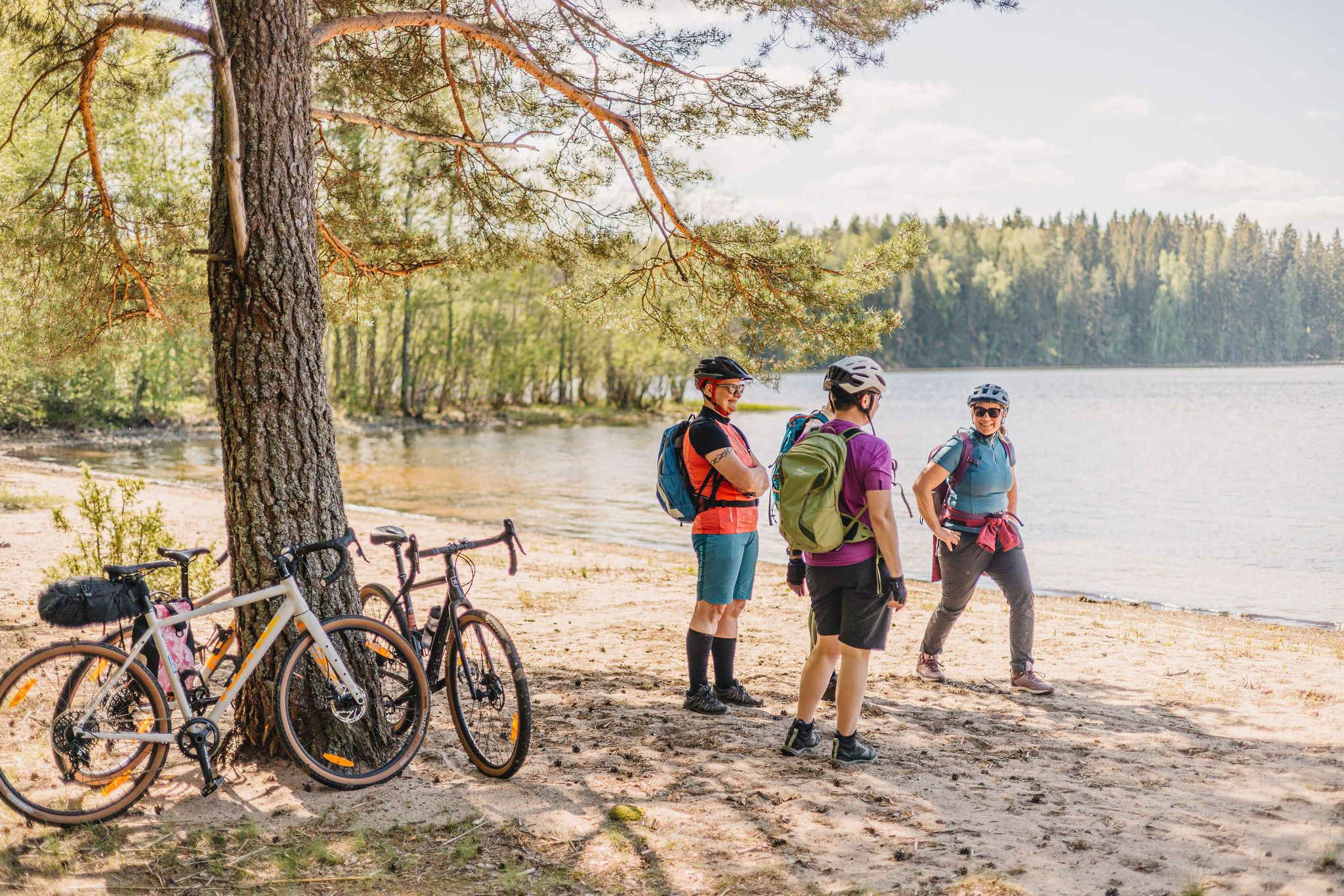
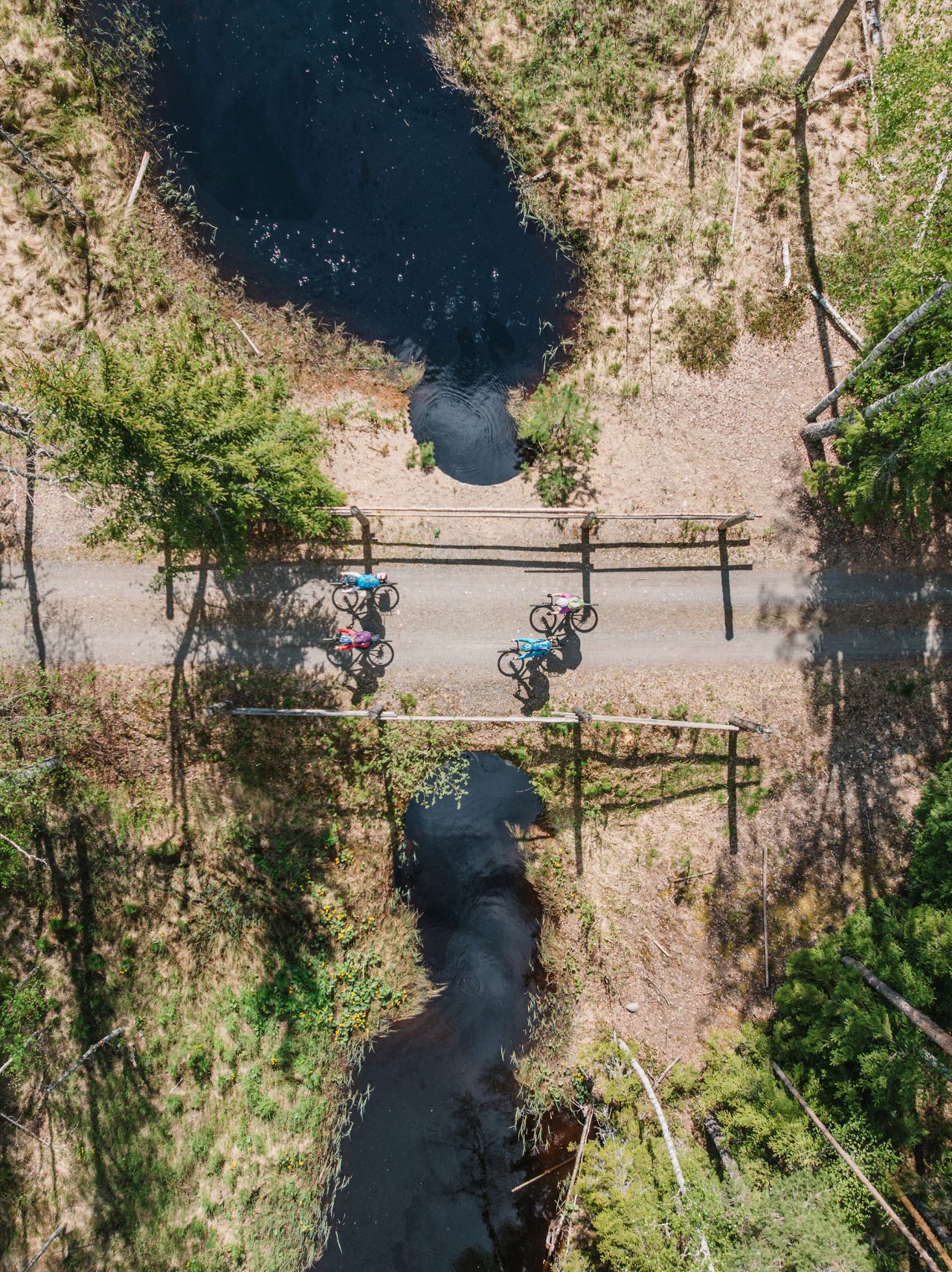
Hämeenlinna — Hauho — Evo (97.9 km) The route starts from Hämeenlinna railway station and follows the lakeside trail along Lake Vanajavesi towards Aulanko. Soon the path climbs to the edge of Aulanko Nature Reserve. The Aulanko Lookout Tower and its national views over Lake Aulangonjärvi are well worth a visit — the climb can be steep in places, so it’s wise to pace yourself and control your speed on the descents. Cafés in the area offer a good opportunity for a snack before continuing. The journey continues toward Hauho. Hauho offers good possibilities to restock food and drinks and to enjoy restaurant services. The medieval shingle-roofed stone church and the old village street form one of the route’s notable cultural stops. From Hauho, you can make a short detour to the Vuorenharju lookout tower for sweeping views of the village, church tower, and Hauhonselkä lake. From here, the route follows the shores of Lake Iso-Roine. The Vähäniemi–Tohkoo recreation area provides a campfire site, swimming spot, and a lookout tower with beautiful lake views. Beyond Kuohijärvi, the surface turns into gravel and forest tracks leading into the forests of Evo. The Evo Hiking Area has several lean-tos and campfire sites for breaks. At Niemisjärvi and the Evo Campus, you’ll find a café and accommodation services. After Kuohijärvi, the surface changes to gravel and forest tracks before reaching Evo. This section is scenic but rougher, so wider tires are recommended. Evo — Oitti — Riihimäki (109.7 km) From Evo Centre, the route continues toward Iso-Evo village and then south toward Lammi. The first section is asphalt, which gradually changes into gravel and forest roads. On the shore of Lake Teuronjärvi lies SFC Tilkunpelto, with a water point, kiosk, and tent sites. The long Koivukehä downhill rolls pleasantly toward the Mommilanjärvi village shop — a popular summer stop for local products and small events. Mallinkaistenjärvi Recreation Area offers lean-tos for resting or overnight stays, though the trails there are not suitable for gravel bikes. The Kahilahti hut is the easiest to reach by gravel bike. From Mallinkainen, the route follows Löyttymäentie through open farmland toward the Puujoki dam. The surface soon changes from asphalt to gravel and offers the chance for a short detour to the Valkjärvi beach. Crossing highway 54 at Puujoki requires caution — traffic can be busy. In Oitti, the route circles around the ponds of Cherry Park along a well-maintained gravel path. Oitti also has a railway station, so the route can be joined or ended here. It’s also a good place to refill food and water supplies. From Oitti, the journey continues toward Hausjärvi village (Hikiä). The first kilometres follow an old roadbed of varying condition, which soon turns into smooth asphalt. Before reaching the village, the route passes the Niklandia campsite and several summer cafés and restaurants — great places for a meal break. Upon reaching Hikiä, it’s worth stopping at the local museum to explore regional history and enjoy a peaceful pause before continuing. The route passes through the village along the old Alitie road and then heads toward Riihimäki. The ride continues via Lempivaara before reaching Riihimäki railway station. The city offers plenty of services — restaurants, accommodation, and bike maintenance — before the final stage. Riihimäki — Janakkala — Hämeenlinna (50.7 km) From Riihimäki railway station, the route leads back toward Hämeenlinna. The first section follows a well-maintained cycle path network before heading into rural landscapes and small villages. From Riihimäki, the route passes Kolmilammi and Ryttylä — Kolmilammi features a traditional dance pavilion and a small lake for swimming, and from the ridge above, you can enjoy fine evening views. The journey continues through Leppäkoski and Haukankallio. In Leppäkoski, a summer café serves traditional Finnish pancakes, and the tar-scented wooden bridge over the Puujoe River makes a picturesque photo stop. The Kiipula area offers a range of activities: animal yard, frisbee golf, fitness stairs, marked running and hiking trails, and dedicated mountain biking routes. Accommodation, a hut, and a lean-to are also available for rent. The next main stop is Turenki (Janakkala), where the Liinalammi swimming spot and several shops and restaurants make for a pleasant break. From Turenki, the route continues to Harviala Manor — the manor café is ideal for a refreshing stop. The Vanajanlinna area features park-like surroundings and a historic castle that invites a moment of rest and a touch of local culture. In the final stretch, the route runs alongside Lake Katumajärvi and passes the Honkalanranta Nature Reserve. The route concludes after crossing the old Viipurintie bridge, at Hämeenlinna railway station.
Lisätiedot
- Kohteen tyyppi
-
Biking route
- Kohokohdat
-
- Numerous sandy roads where you may encounter no one but yourself.
- A picturesque route along the shores of Lake Vanajavesi, with reflections of Häme Castle on the water.
- Aulanko’s historically significant nature reserve, complete with a national scenery.
- The old forests and numerous lakes at Evo Hiking Area.
- The Salpausselkä ridges between Turenki and Riihimäki.
- Remarkable churches worth visiting: the large wooden church of Hausjärvi, Lammi’s medieval gray-stone church, and Hauho’s medieval gray-stone church.
- Reitin pituus km
-
265
- Reitin pituus
-
2 – 5 days
- Ylläpitäjä
-
Municipality / Other
- Saapuminen
-
Good public transport connections and convenient train–bike transfers make the route easily accessible for cyclists from all over Finland – whether you start your journey in Forssa or join the trail in Humppila. By Train: There are six railway stations along the route, which makes it easy to start the trail or ride it in sections. You can start from any station. Most long-distance trains stop at Hämeenlinna and Riihimäki. Local trains between Lahti and Riihimäki stop at Hikiä and Oitti, while local trains between Helsinki and Tampere stop at Turenki and Ryttylä. Stations along the route: Riihimäki, Hämeenlinna, Turenki, Ryttylä, Hikiä, Oitti On local trains, you can take your bike free of charge without a reservation. On long-distance trains, bike transport is paid and requires a reservation. If you plan to bring your bike on a long-distance train, remember to reserve a space in advance, especially in summer and on weekends when slots can fill quickly. Check current timetables: 👉 vr.fi By Bus: You can easily start or finish your ride in Hämeenlinna, Riihimäki, or Turenki, which all have regional bus connections and are along the trail. Direct long-distance buses from Helsinki, Tampere, and Lahti also stop at Hämeenlinna and Riihimäki, making it easy to reach the trail without a car. Hämeenlinna and Riihimäki bus stations serve as natural start and finish points. Buses via Turenki provide good options for shorter rides or day stages. Check routes and timetables: 👉 matkahuolto.fi 👉 perille.fi By Car: The trail can be started from multiple points – always check local parking rules in advance. Suitable starting points are typically town centers. It’s recommended to verify parking options online beforehand and always check the conditions and suitability for your needs. Parking areas with options for long-term parking are available in towns and urban areas, often near railway stations. Travel parks (Matkaparkki) can be found along the route, including Evo, Hämeenlinna, and Janakkala.
Kuvat